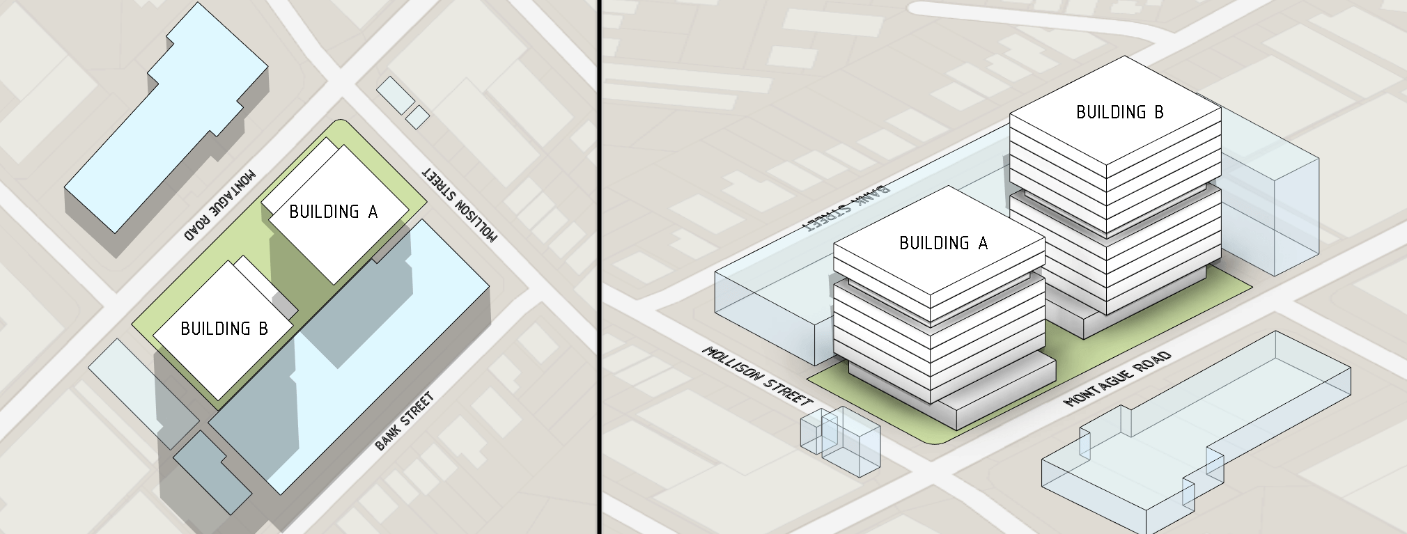
Google Maps is a great source of geographical and cadastral information in image form, which can then be used on a topography in conceptual design work.
But it can also suffer from having too much information such as landmarks (e.g. business names) which you might not want on your presentations.
Sites like No Labels Map provide Google Maps access, but without the labels.
Using this service, after you locate the site simply turn off the labels by pressing the No Labels button in the top-right of the screen.
Once you have captured a screenshot you can then create a Revit material for it and assign it to a topography element, which is covered in another post.
Disclaimer: The web service referenced in this tip was active at the time of writing.


