Happy international drone day!
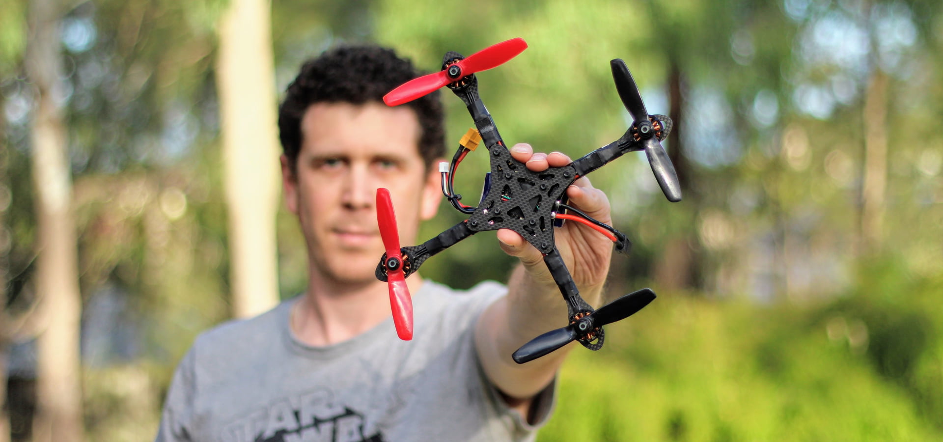
The day which celebrates all the good things which drones are doing now, and will do in the future. And regardless of whether you love, hate, or are indifferent about them, they are here to stay.
Yes, we always seem to hear the bad things about drones in the media, but very rarely the positives. In fact, the positives outweigh the negatives by an order of magnitude. And that is what International Drone Day is all about, an educational day for the masses. To provide comfort that the 99.9% of drone operators couldn’t care less what you are doing in the privacy of your own yard.
 And while this day focuses more on the enjoyable aspect as a sociable hobby, drones play a larger and more serious part in other day to day activities. Search and rescue, law enforcement and counter-terrorism, agriculture, or the arts to name a few.
Of course included in this group is the AEC industry, who has embraced drone technology for many years. I wanted to share a short list of some of the more popular uses.
Master Planning & Marketing
We’re talking about good old photos and videos. The ability to present master planned proposals in a way which is inclusive of the surrounding community. Photos and videos are still some of the simplest forms of communication to help engage with members of the community.
Architectural Design
As good as photos and videos are, obtaining detailed data of the development site is difficult. This is when scanning from drones takes over, producing 3D models (like point clouds). Scanning the neighbouring environment provides more data than can obtained from the ground. This is higher detail which other sources like Google Earth cannot provide. This scan data then enhances feasibility design data, and overall improves council submissions.
Surveying
The technology landscape of surveying is changing. Advancements in drone accessories and software creates results almost as accurate as terrestrial surveying. And in some very specific use cases like volumetrics it can actually be more accurate. Drones also make easy work of surveying by capturing very large areas in reduced timeframes.
Progress Monitoring / Verification
Providing a means to rigorously monitor the progress of the job. Scanning the entire site produces archivable models for use in weekly progress meetings. Even better, the scan data when overlayed on design data (CAD) allows for verification. Centimetre accuracy is achieved for checking important as-built elements like foundations, services, or columns.
Structure Inspections
Structures like buildings and bridges become fatigued and deteriorate with age. Therefore these assets receive ongoing inspections and maintenance ensuring they last their expected lifespan. But often the assets are tall and hard to reach, so the visual inspection process can be costly and time consuming. Drones provide the means to perform this task more efficiently, even if only as a preliminary means. This keeps staff out of harms way until such a time a closer personal inspection is required.
Safety Compliance
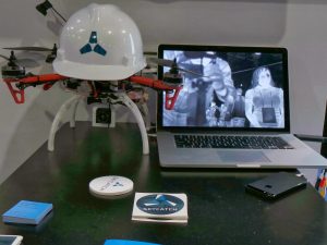
It’s not just about what the human eye can see. Thermal imaging cameras fitted to drones provide other interesting use cases. From inspecting plant equipment for unusual heat sources like leaks, to seeking out personnel. An example could be to ensure workers are not where they are supposed to be. Or even checking the heat signature of a workers head, suggesting they might not be wearing a hard hat. Thermal imaging is just one resource in the safety compliance toolkit.
Where to next for drones?
It’s hard to say. Drones are becoming smaller, flying longer, and fitted with more advanced accessories and sensors. They are becoming more autonomous, even without the addition of machine learning. But no doubt as all these factors coalesce new applications will be identified.
So the next time you see a drone flying about take a moment to think about the good they are doing.


