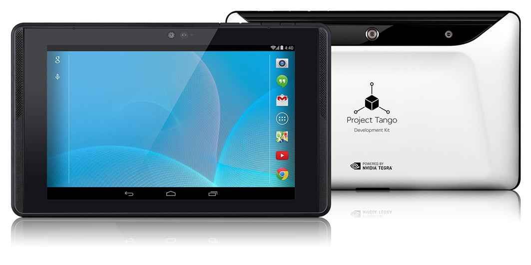
Google’s Project Tango is certainly an interesting piece of technology.
If you haven’t already heard what it is, simply put it’s technology that allows hardware to perceive the world in a similar way to how us humans do. From a hardware perspective this is achieved through the use of a Time-of-Flight (ToF) Depth Camera, and a Motion Tracking Camera. But this in itself is not necessarily new.
Many people are trying to tackle this same challenge, albeit in many different ways. From million dollar companies, to kickstarter campaigns. But in the end there might only be one company who can pull this off successfully.
Over the past 48 hours I’ve been watching the Google I/O 2015 sessions, and there were two very specific points which stood out when looking at this and its potential application to the Architectural, Engineering and Construction (AEC) industry.
The first came during the Project Tango session. An audience member asked whether a specific point in the software could be georeferenced. The answer was yes. Known as Area Description Files, rooms (or layouts) are able to be georeferenced. These areas can be somewhat accurately located via numerous existing methods such as GPS or WiFi. Although as we know, the accuracy for these methods of location are finite, but some companies are using it with certain levels of success.
The second, and arguably the more important part of this equation could lie in Google’s primary business of search.
Google’s Machine Learning has long been suggested as one of the leaders in this area of computer science. It not only powers its own Search service, but is being applied to many other areas in which they are heavily investing in, from image recognition in their Photo service, to self driving cars.
It’s this machine learning in the form of object recognition when coupled with Project Tango that could see more accurate scanning and location of building and infrastructure services. The ability to know exactly where to dig a hole in the ground, or drill a hole in a wall could save costly mistakes, or even be the difference between a life or death situation by avoiding dangerous services.
Or how about when scanning existing conditions like the services in the ceiling space of a building? It’s completely feasible that Tango could be used to scan mechanical services such as a VAV Box, then use its machine learning to understand and identify what it is (maybe even specific manufacturer and model), search for the component, and then finally spatially place it into your virtual building model. Technically speaking, every step just described is individually possible now.
Obviously it’s still early days with many more details which need to be refined in this emerging area of technology. But one thing still remains constant, our mobile devices are still the center of our technological life, with more features being packed into them every year.
Qualcomm has released an official press statement regarding its partnership with Google Project Tango.


